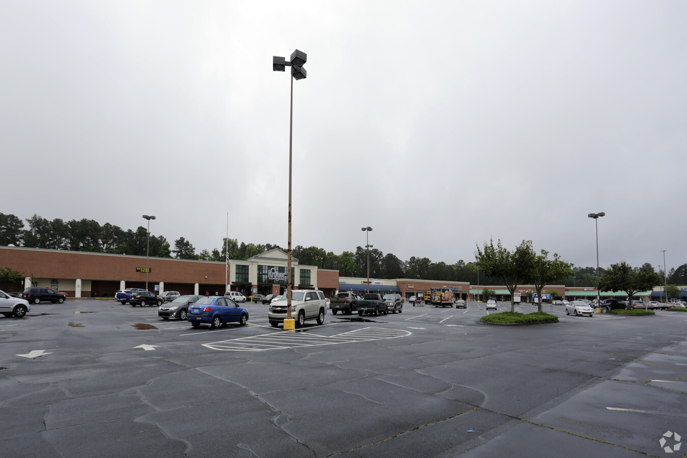
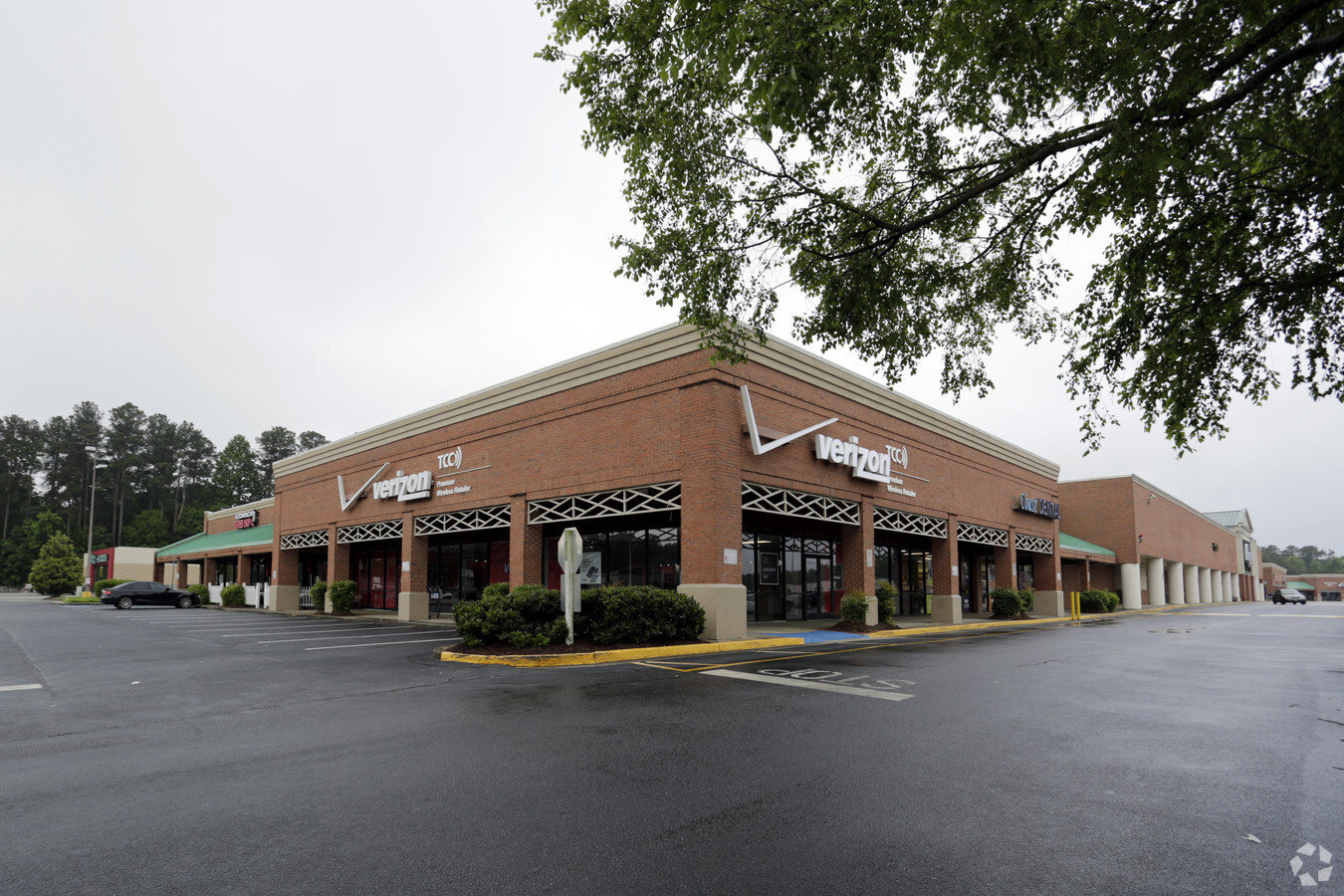
Property Record
455 Grayson Hwy, Lawrenceville, GA 30046

NEARBY LISTINGS FOR SALE OR LEASE
Property Detail
455 Grayson Hwy
5-141-076
S CLAYTON ST
Communitycenter
Gwinnett
X
Georgia
13135C0089F
141
2023
16.90 AC
2023
Lawrenceville/Dacula
050522
Atlanta
66,261 SF
Atlanta-Sandy Springs-Roswell, GA
DEMOGRAPHICS near 455 Grayson Hwy
1 Mile
3 Mile
5 Mile
2024 Total Population
9,260
78,333
193,525
2029 Population
9,698
81,675
201,923
Pop Growth 2024-2029
+ 4.73%
+ 4.27%
+ 4.34%
Average Age
37
37
37
2024 Total Households
3,242
25,089
61,215
HH Growth 2024-2029
+ 4.78%
+ 4.39%
+ 4.44%
Median Household Inc
$46,121
$71,395
$81,224
Avg Household Size
2.70
3.00
3.10
2024 Avg HH Vehicles
2.00
2.00
2.00
Median Home Value
$294,938
$306,208
$295,767
Median Year Built
1982
1997
1996
Nearby Places
- Restaurants
- Banks
- Shops
- Fitness
- Groceries
SALE & LEASE HISTORY
LISTING DATE
SALE/LEASE

Sep 24, 2016
For Lease
Nearby Properties
Address
Land Use
TOTAL SIZE
Lot Size
Zoning
Address
Land Use
TOTAL SIZE
Lot Size
Zoning
29,294 SF
24.24 AC
LM
Address
Land Use
TOTAL SIZE
Lot Size
Zoning
1,103,220 SF
66.65 AC
OI
Address
Land Use
TOTAL SIZE
Lot Size
Zoning
493,072 SF
12.67 AC
BG
Address
Land Use
TOTAL SIZE
Lot Size
Zoning
641,171 SF
43.12 AC
RM13
Address
Land Use
TOTAL SIZE
Lot Size
Zoning
275,917 SF
13.34 AC
BG
Address
Land Use
TOTAL SIZE
Lot Size
Zoning
441,948 SF
91.78 AC
OI
Address
Land Use
TOTAL SIZE
Lot Size
Zoning
16,062 SF
89.78 AC
BG
Address
Land Use
TOTAL SIZE
Lot Size
Zoning
484,422 SF
34.27 AC
RM
Address
Land Use
TOTAL SIZE
Lot Size
Zoning
352,924 SF
86.43 AC
R100
Address
Land Use
TOTAL SIZE
Lot Size
Zoning
188,749 SF
103.66 AC
RA200
Address
Land Use
TOTAL SIZE
Lot Size
Zoning
321,476 SF
38.63 AC
RMM
Address
Land Use
TOTAL SIZE
Lot Size
Zoning
13.16 AC
AA010
Address
Land Use
TOTAL SIZE
Lot Size
Zoning
333,734 SF
24 AC
BG
Address
Land Use
TOTAL SIZE
Lot Size
Zoning
221,082 SF
12.90 AC
RM24
Address
Land Use
TOTAL SIZE
Lot Size
Zoning
298,990 SF
24.16 AC
OI
Address
Land Use
TOTAL SIZE
Lot Size
Zoning
242,492 SF
19.14 AC
RM13
Address
Land Use
TOTAL SIZE
Lot Size
Zoning
201,000 SF
29.98 AC
R75
Address
Land Use
TOTAL SIZE
Lot Size
Zoning
110,564 SF
7.76 AC
RM8
Address
Land Use
TOTAL SIZE
Lot Size
Zoning
812,946 SF
82.22 AC
BG
Address
Land Use
TOTAL SIZE
Lot Size
Zoning
262,396 SF
4.57 AC
OI
Address
Land Use
TOTAL SIZE
Lot Size
Zoning
179,498 SF
6.05 AC
HSB
Address
Land Use
TOTAL SIZE
Lot Size
Zoning
113,374 SF
34.55 AC
R75-SINGLE
Address
Land Use
TOTAL SIZE
Lot Size
Zoning
278,350 SF
35.62 AC
C2
Address
Land Use
TOTAL SIZE
Lot Size
Zoning
126,160 SF
15.15 AC
BG
Address
Land Use
TOTAL SIZE
Lot Size
Zoning
357,652 SF
22.03 AC
HM-HEAVY M
Address
Land Use
TOTAL SIZE
Lot Size
Zoning
175,190 SF
11.17 AC
RM
Address
Land Use
TOTAL SIZE
Lot Size
Zoning
289,004 SF
17.39 AC
OI
Address
Land Use
TOTAL SIZE
Lot Size
Zoning
325,459 SF
21.18 AC
HM
Address
Land Use
TOTAL SIZE
Lot Size
Zoning
59,949 SF
71.12 AC
C1
Address
Land Use
TOTAL SIZE
Lot Size
Zoning
132,916 SF
10.23 AC
BG
The World's #1 Commercial Real Estate Marketplace
Connect with us
© 2025 CoStar Group
The information above has been obtained from sources believed reliable. While we do not doubt its accuracy we have not verified it and make no guarantee, warranty or representation about it. It is your responsibility to independently confirm its accuracy and completeness. Any projections, opinions, assumptions, or estimates used are for example only and do not represent the current or future performance of the property. The value of this transaction to you depends on tax and other factors which should be evaluated by your tax, financial, and legal advisors. You and your advisors should conduct a careful, independent investigation of the property to determine to your satisfaction the suitability of the property for your needs.